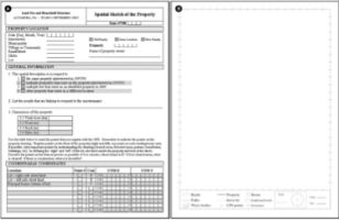
Croquis de uso e cobertura da terra
(procedimentos)
D'ANTONA, Álvaro de O.; CAK, Anthony D. ; VANWEY, Leah . Collecting Sketch Maps to understand property land use and land cover in large surveys. Field Methods, v. 20, p. 66-84, 2008.
http://dx.doi.org/10.1177/1525822X07309354
This article describes a method to collect data on the spatial organization of land use within a rural property as part of a large-scale project examining the linkages between household demographic change and land use and land cover change in the Brazilian Amazon. Previous studies used several different spatial approaches, including maps and satellite images, to improve the information collected in standard survey questionnaires. However, few used sketch maps to obtain information from the point of view of the survey respondent about the spatial organization of land use and infrastructure. We developed a method of creating sketch maps with respondents to describe their properties. These maps then provided a spatially referenced database of the social and land use organization of the properties from the perspective of the respondent. Systematic rules allowed sketches to be used in subsequent spatial analyses in combination with satellite images and Global Positioning System reference points.
Palavras-chave: sketch maps; land use Brazilian; Amazon; GIS
