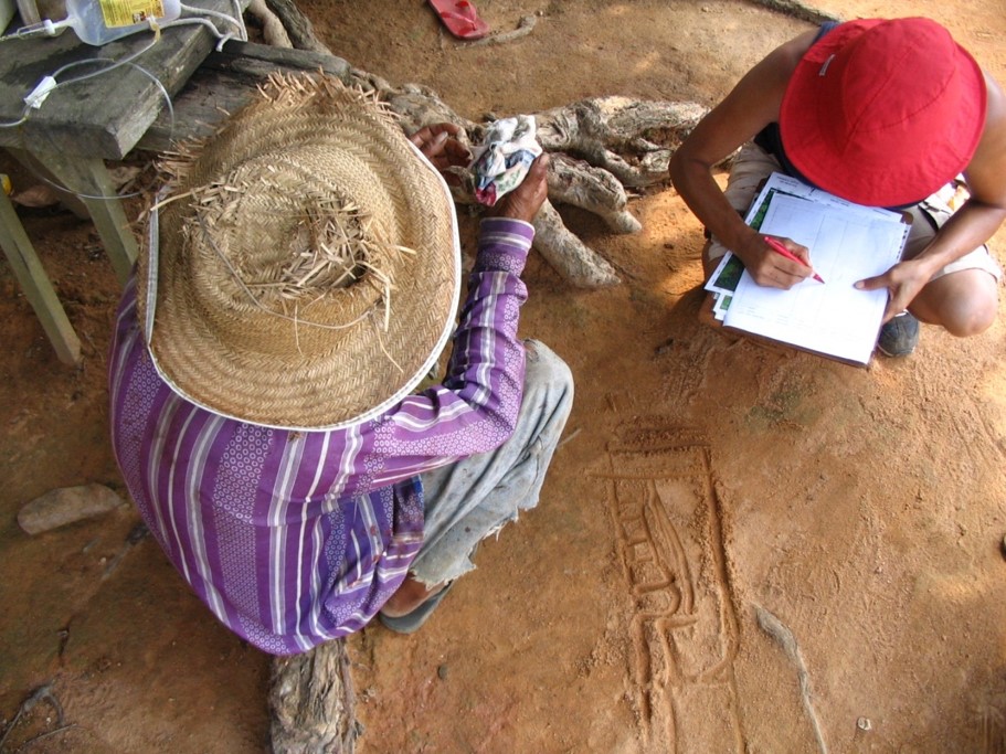
Mapas e desenhos de uso e cobertura da terra
(Uma perspectiva dialógica)
D'ANTONA, Álvaro de O.; CAK, Anthony D. ; VANWEY, Leah . Collecting Sketch Maps to understand property land use and land cover in large surveys. Field Methods, v. 20, p. 66-84, 2008. (DOI: http://dx.doi.org/10.1177/1525822X07309354)
Veja também:
D'ANTONA, Álvaro de O.; CAK, Anthony D. ; TARTALHA, Thais N. . Integrando desenhos e imagens de satélite no estudo de mudanças no uso e cobertura da terra. Ambiente e Sociedade (Campinas), v. 11, p. 99-116, 2008. [Integrating sketch maps and satellite images in the study of land use and land cover change. Ambiente & Sociedade (Online), v. 4, p. 1-1, 2008.] (DOI: http://dx.doi.org/10.1590/S1414-753X2008000100008)
SILVA JUNIOR, R. D. ; D'ANTONA, Álvaro de O. ; CAK, Anthony D. . From land use and cover change to ethnographic experience: between sketches and satellite images of the Brazilian rural Amazon. Etnográfica . p. 583-606, 2016. (DOI: http://dx.doi.org/10.4000/etnografica.4676)
